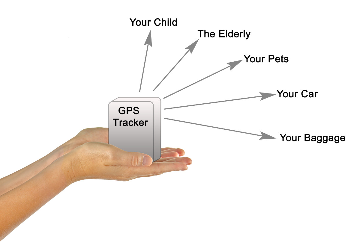
Vehicle tracking systems use GSP, or Global Positioning System technology, to identify the location of vehicles via information transmitted by satellites. GPS was developed in the early 1970s by the US military to overcome problems with existing navigational systems. That's the simple answer, but now we will delve a bit deeper and find out how that actually works.
What is GPS, and how does it track vehicles?
Twenty-four satellites are orbiting the Earth 24 hours a day, following a strict schedule which allows for very accurate readings using map coordinates. This strategic monitoring by satellite is called "triangulation".
What is triangulation?
This is the calculation of the distance and positions of the satellites doing the readings, which provides us with the precise location of the tracked vehicle. Satellite #1 sends signals from space to a GPS tracker on the Earth. The earth-bound GPS tracker reads the position from which this signal was sent, then beams a response to Satellite #2. This satellite is the nearest one in orbit, and this satellite's position is duly recorded. The positions of the sending & receiving satellites and GPS tracker, plus the distance the message travelled and the time it took for the message to be sent, are recorded. From the information being beamed from these three locations, a triangular formula is produced - and this gives us the unique 3D address for each reading. It's all very simple once you have the formula to work from!
How precise are GPS readings?
While the distances the readings travel are mind-boggling to us earth-dwellers, we are really talking about an infinitesimal section of the vast universe - just the relatively tiny distance between the earth's surface and the orbiting satellites. The readings are incredibly accurate; only human error in handling the transmissions between machines can lead to mistakes in the results.
Because the earth's surface has been thoroughly mapped and coordinates ascribed from pole to pole, the satellites and GPS readers can easily read and instantly identify the locations recorded. Extreme atmospheric conditions (which can interrupt the messages being transmitted) or travelling at high speeds (when updates can be too rapid to handle efficiently) can interrupt readings, but on the whole, GPS tracking is reliably efficient.
Is there another form of tracking which doesn't use satellites?
That is correct. Mobile phone companies also provide cellular tracking. These cellular tracking systems are mostly found in urban areas with good mobile and wireless coverage. Satellite tracking is much more reliable for companies using fleet vehicles that move in and out of urban areas. Some systems employ both in tandem.
What about the scare stories about people driving off bridges because their GPS told them to?
Firstly, watch the road, people! Secondly, these stories do appear in the news now and then, and many of us have some anecdotes about being directed to drive up dead-end streets or finding there's no bridge on the route the sat-nav has planned, but most reports are urban myths. When it does occasionally go wrong, don't blame the GPS or the satellites for these errors - blame the humans who drew up the maps.